A Long Walk Home
Now that its getting warmer and staying light later, I’m determined to get more exercise (famous last words??). So recently I got a ride over to the Rockefeller State Park Preserve. From there I would try to walk home

This was the start of the walk: near the visitors center at the beginning of the Old Sleepy Hollow Trail.

Walkers at the Rockefeller State Park Preserve
It was a lovely day and many people had had the same as I did: to go for a walk. Here a family of four enjoys the gorgeous, sunny weather.


A short way down the Old Sleepy Hollow Trail I took a diversion to the right along Nature’s Way Trail. It took me to this enormous rock. It’s really big. Take a look at the last picture where I asked some passers-by to stand in front of it to provide a sense of scale
According to Atlas Obscura (which provides additional information) it’s a:
…20-foot-high glacial erratic. One can’t help to notice the sweeping grey, blue, and brown striations that wind their way around this boulder’s 65-foot circumference; often interrupted by jagged edges and deep gouges.
A glacial erratic is a rock that has been transported by a glacier, and are sometimes used to track glacial movement. This giant piece of gneiss, which is estimated to be more than 600 million-years-old, didn’t always stand among the aged trees of the park. It was dragged down from the peaks of the Hudson Highlands by the southward flow of the Late Wisconsin continental glacier thousands of years ago.

I don’t understand why people feel the need to deface trees in this manner. However, whenever I see carvings like these I find myself wondering who the people were who made them? Who is/was “SG”? “MF?”.
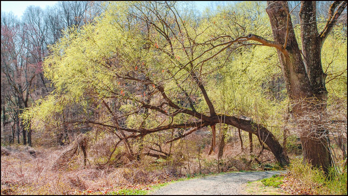
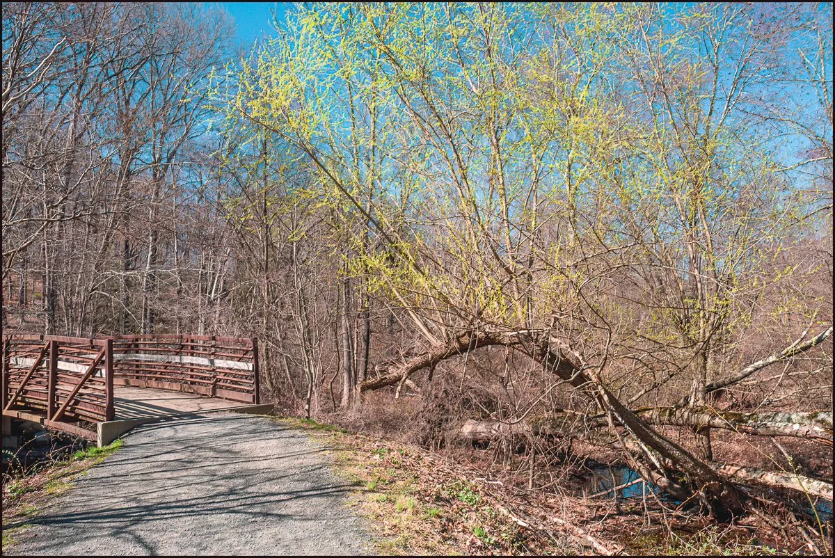
Approaching the Pocantico River I couldn’t help but feel that Spring was really here. It was pleasantly warm and very sunny and the new leaves were just starting to burst out.

Walking along the Pocantico River Trail I came across this guy trudging along in front of me. He seemed to be struggling a bit. Maybe he’d been walking for some time and was feeling the effects? Later in my own walk I was get a better idea of what he was probably feeling.
I seem to recall hearing that the rocks alongside the trails are referred to around hear as “dragon’s teeth” for obvious reasons.


“The Pocantico River is a nine-mile-long (14 km) tributary of the Hudson River in western central Westchester County, New York, United States. It rises from Echo Lake, in the town of New Castle south of the hamlet of Millwood, and flows generally southwest past Briarcliff Manor to its outlet at Sleepy Hollow. Portions of the towns of Mount Pleasant and Ossining are within its 16-square-mile (41 km2) watershed.
Writer Washington Irving, who lived in the area for most of his life, was inspired by the undeveloped area above the river’s mouth to write his classic “The Legend of Sleepy Hollow”. Later in the 19th century much of the land was purchased by the Rockefeller family as part of their Kykuit estate; today much of that land has become Rockefeller State Park Preserve. A former reservoir used by the city of New Rochelle has likewise been converted into county-run Pocantico Lake Park. While the river runs predominantly through those parks and suburban land, it is still one of the most polluted tributaries of the Hudson. The Weckquaesgeek Native American tribe, who established their primary settlement around the mouth of a river in present-day Dobbs Ferry, also had a village at the mouth of the Pocantico River called Alipconck, meaning “place of elms”. The river historically set the dividing line between Mount Pleasant and Ossining.
The river was once called by the English as “the Mill river”, while the Native Americans called it Pocanteco, a derivative of the Algonquin term Pockóhantès, meaning a “run between two hills”. The Dutch called it the Sleepy haven kill. Dutch colonist Adriaen van der Donck’s Beschrijvinge van Nieu Nederlandt, published in Amsterdam in 1655, referred to the Pocantico River as “Slapershaven” (Sleepers’ Haven). The anglicized term “Sleepy Hollow” grew to apply to the Pocantico’s river valley and later to the village of North Tarrytown in particular; the village changed its official name to Sleepy Hollow in 1996.
Frederick Philipse moved to the area and started purchasing land in the late 1600s, his properties would become known as Philipsburg Manor. He established his country seat at what was then known as North Tarrytown, at the mouth of the Pocantico River. A small community had already been established there when he arrived in 1683.
A ship called the Roebuck, which transported cargo to and from New York City, ended up in the river, where its keel was scavenged by the miller at the mill of the Philipsburg Manor House site.
Around the late 1890s, Walter W. Law and Briarcliff Farms deepened the river for a length of 2 miles (3 km), taking out the rifts so the stream would flow and the swamps adjacent to the river would drain. The workers also cut rock and took out trees that lined the swamps to reclaim land for farming.
The North Tarrytown Assembly, a large automobile factory in Sleepy Hollow, was owned and operated by General Motors for much of its history; a 1923 expansion of the facility involved land-filling the river; two-thirds of the factory site was land formerly occupied by the river. The river was rerouted south of the site.
During 1999’s Hurricane Floyd, the Pocantico was blocked by fallen trees and almost washed away the Philipsburg Manor historic site; about 70 employees of the parent organization Historic Hudson Valley assisted in its protection, along with the site’s curators and security guards, and other village residents.” (Adapted from Wikipedia, which contains additional information.)


I’ve been to these ruins a number of times, but until recently I didn’t know much about them.
According to Rob Yasinsac, the doyen of Hudson Valley Ruins:
The New Rochelle Water Company ruins are part of a 120-acre property along the Pocantico River in the Town of Mount Pleasant. The site consisted of a stone pump house, a wood frame caretaker’s cottage (burned on or about early 2006), a smaller service building with concrete retaining basins and a large metal water tank.
The company was providing water to local residents in the 1880s, when it contracted with North Tarrytown to install the first water system in the village. The nearby Pocantico Lake was also the site of an ice harvesting operation in the winter. North Tarrytown connected to New York City’s Croton Aqueduct system in the 1920s. Purification of the Pocantico water was improved after litigation between the village and New Rochelle Water Company at that time.
The New Rochelle Water Company was servicing about two dozen homes in the neighborhood when the property was sold to Westchester County in 1992. A license to operate the pump house was maintained by the company, but it appears the facility has not been in service since then. Legislation to authorize a perpetual easement over part of the property and buildings to the Village of Briarcliff Manor was approved in 2000. The legislation also called for the County Parks Department to remove the “unsightly former residence,” while transferring maintenance and operation of the pump station to Briarcliff Manor.
The pump house and other functionally related structures still exist as of early 2007. The caretakers residence burned to the ground sometime between July 2005 and July 2006.
For many more pictures (including a number of interior shots) of the buildings please go here.
When I first visited you could still get inside the pump house (Above . See also: Old Waterworks at Pocantico Lake). Now this is no longer possible, which is probably a good thing as the the building has deteriorated considerably since I first went. Take a look at the roof in the first picture!
For more on Hudson Valley ruins take a look at Rob’s fascinating Website: Hudson Valley Ruins. I can also heartily recommend his book Hudson Valley Ruins: Forgotten Landmarks of an American Landscape.
The next phase of my walk took me out of the Rockefeller State Park Preserve where Sleepy Hollow Road and Old Sleepy Hollow Road meet and into the 164 acre Pocantico Lake County Park, which includes the 69-acre Pocantico Lake and spans parts of Mount Pleasant and Briacliff Manor (my village).


According to the excellent Scenes from the Trail Blog:
The original dam and reservoir were built around 1888 by the Pocantico Water-Works Company to supply water to North Tarrytown and neighboring municipalities. Later it was owned and operated by the Consolidated Water Company of Suburban New York (circa 1910) and at some point after 1920, it was transferred to the the New Rochelle Water Company which operated it until about 1977 when the use of the facility as a water supply was abandoned.
The Pocantico Lake site was operated as a water supply until 1977, when it was considered more economical to buy water from the New York City reservoir system. In the early 1980’s, the site was sold to private interests and was expected to be used for residential development.
In 1992 Westchester County bought the 164-acre parcel, including the 69-acre Pocantico Lake, from a Pennsylvania developer for $3.7 million. After being classified by NYSDEC as “high-hazard,” the demolition and reconstruction of the Pocantico Lake Dam was completed in 2013.

While nowhere near as big as the glacial erratic seen earlier(See: A long walk home – A really big rock) this one was still pretty impressive.

Wherever you walk around here you come across stone walls in the woods, and sometimes ruined buildings or structures like this one. I can’t help but wonder what it once was.

I emerged from Pocantico Lake Park onto Sleepy Hollow Road for the last leg of my walk home. After a few minutes of walking I came across two widely separated entrances, each flanked by stone gateposts bearing the above plaque. Obviously there was something impressive behind these entrances – maybe something of historical significance?
I recall reading something about Ichabod Farm, but I can’t remember what it was or where I found it. My attempts to find some new information have so far failed, other than discovering the site of the architect who did a fairly recent renovation: O’Brian Architecture. It has some interesting pictures.

For a good part of this home stretch the road bordered on some wetland. I liked the way these grasses looked.

I’d now been walking for around three and a half hours. My feet hurt, and my legs and back were aching. I sat down for a rest (one of many by this point in the walk) on a wall by the side of the road. While sitting there I noticed my shadow.
And I still had to walk for another 30 minutes or so before I would arrive home…